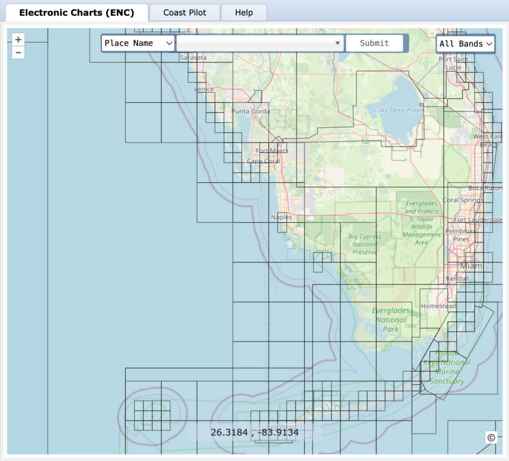
Looking for reliable, up-to-date nautical charts for your next boating trip? The NOAA Interactive Catalog is a free online tool that lets you explore and download official charts from the National Oceanic and Atmospheric Administration (NOAA). Whether you’re navigating the Intracoastal Waterway or planning offshore travel, this easy-to-use resource helps you find the right charts for your route, including updates to navigation aids, depth soundings, and coastal features. Access the chart viewer here ›

